
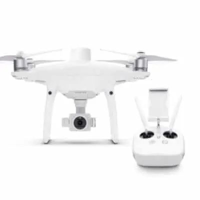
Il nuovo Cloud PPK Service consente le correzioni PPK direttamente nella app GS RTK.
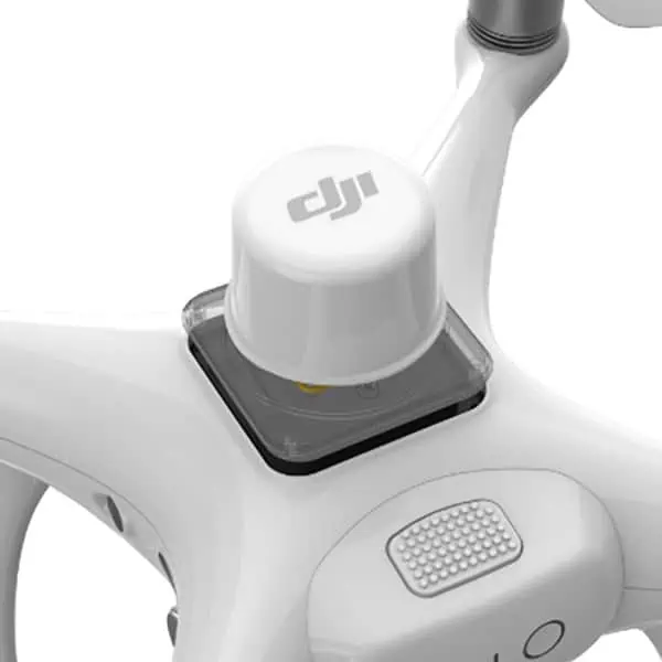
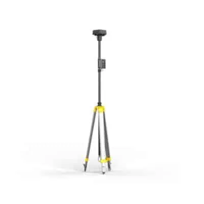
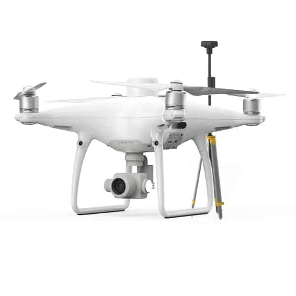
Utilizzando la stazione mobile GNSS ad alta precisione D-RTK 2 come rover RTK, gli utenti possono ora godere di una maggiore flessibilità nella pianificazione e nell’esecuzione della missione.
Suddividi aree estese in più missioni di volo automaticamente utilizzando la funzione di segmentazione dei blocchi con Multi-Aircraft Control2, migliorando l’efficienza nella pianificazione delle missioni e l’accuratezza della mappa.
Absolute Altitude Flight garantisce la ripetibilità e la coerenza della missione tra diversi operatori quando si utilizza Waypoint Flight.
L’ottimizzazione della precisione dell’elevazione è ora disponibile per le missioni di fotogrammetria 2D e di segmentazione a blocchi, con il drone che acquisisce automaticamente immagini oblique al centro dell’area di mappatura alla fine della missione.
Recensioni
Ancora non ci sono recensioni.